Back in Africa again and with a free week for the mountains. The Mountains of the Moon has always been a fascinating name. Not just for me, Stanley was the first European to see the range and it's highest peak, Mt. Stanley, was first climbed by the Duke of Abruzzi in 1906.
Access has been a problem for time to time. During Idi Amin's time many people hid in the ranges. For most of the last ten years things have improved. The Lord's Resistance Army (the ones that kidnap kids as soldiers) are a fair bit to the north, and the Ugandan army has kept a reasonable watch on resistance fighters crossing from the Congo.
But you can arrange porters and guides from the Rwenzori Mountain Service in the foothills. I always do this in Africa - great for the local economy and the guide knows the area. But don't take on anything that stretches your skills or relies on much more than route finding from the guide. You are a very long way from YOSAR here.
So anyway, a few pictures to tell of the 6 days in the ranges...
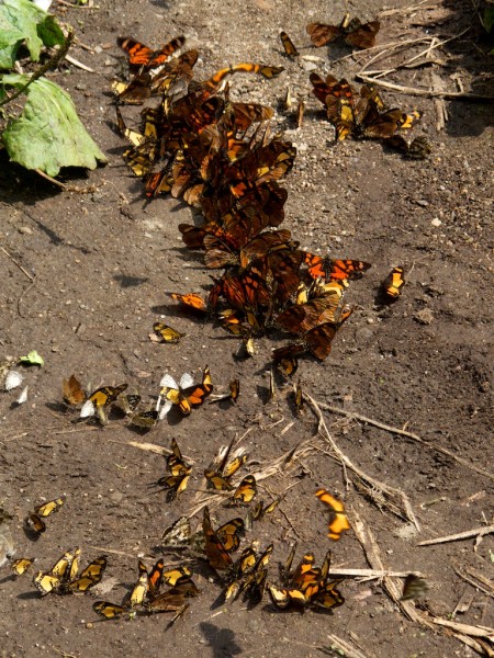
There's not a lot of wildlife to be seen (unlike Mt. Kenya). Too many people hid here for the 1970s so any animals are left are extremely shy.
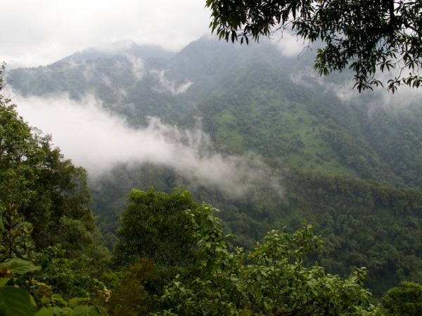
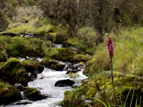
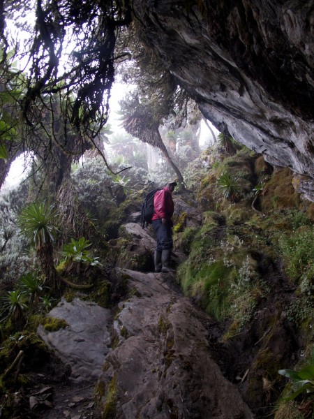
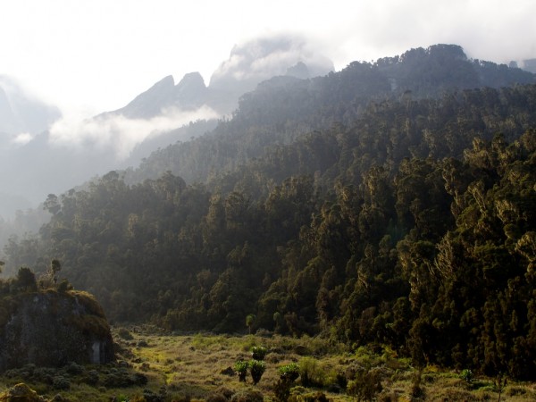
The terrain is very steep and forested. The grassy areas are lethal in the wet.
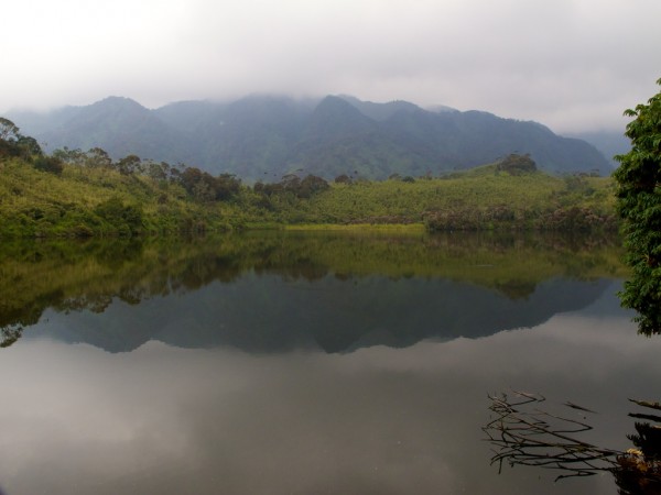
There is a main "circuit" through two major river valleys and very few venture far from it. Impenetrable bush is one reason, but there are some nice lakes to visit if you like thrashing through forest - Lake Makoma.
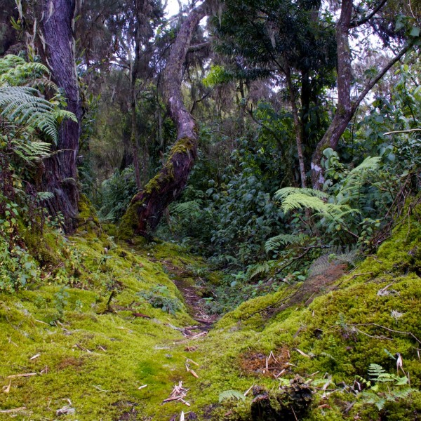
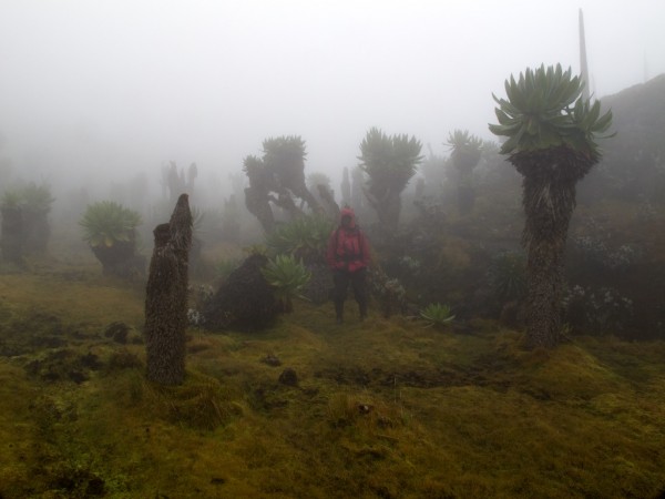
The variety of forest is incredible. Dense lowland forest; podocarp forest; bamboo forest; heather forest and finally silesia forest. All of it wet.
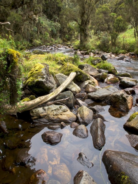
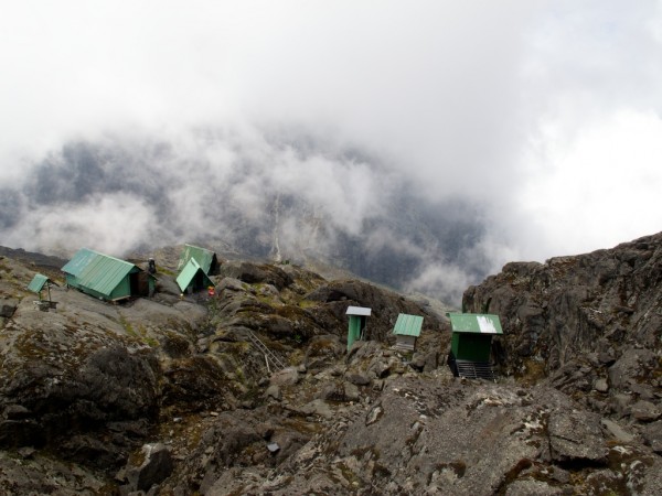
There are old but nicely located huts in the mountains. The second night on the banks of the Bujuku river.
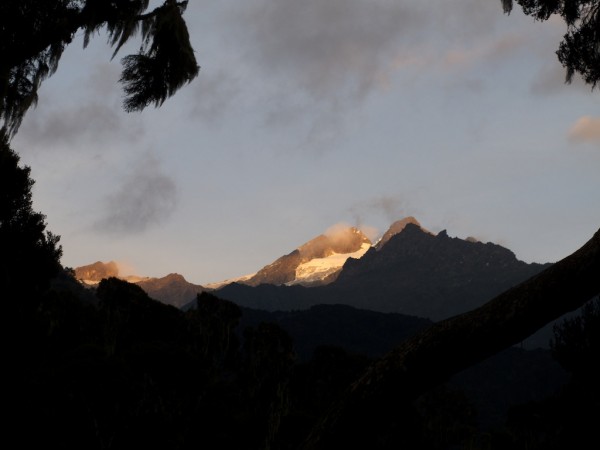
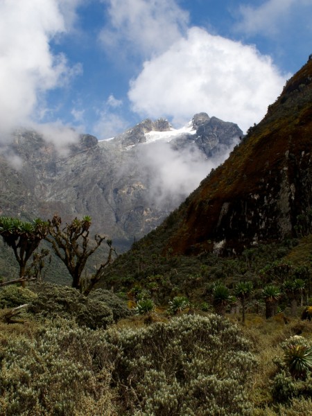
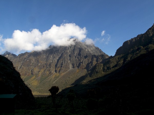
The clouds clear for the first view of the climbing objective: Alexandra and Margherita peaks on Mt. Stanley.
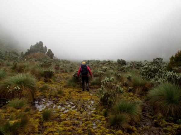
But before we can even get close the serious work has to be done: Lower and Upper Bigo Bog. Tall rubber boots are probably too short - some guides wear fishing waders to get through this section.
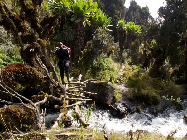
In some places there are bridges - but this far from the road the technology is definitely local.
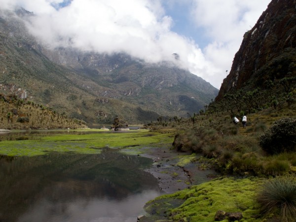
As we push farther up the Bujuku river valley the terrain opens out.
We finally reach Lake Bujuku and head for the hut beyond it. But first, more bog around the side.
Above Bujuku lake Rauben and I head up Stahlmann pass which goes through to the Congo. But first we have to get through the silesia forest.
From the flanks of Mt Speke we can look back down on Bujuku Lake and the huts. This is the highest source of the Nile, but we are a very long way from Egypt.
Mt. Baker is the second highest massif in the region. The north face (shown here) has seen few ascents since Shipton and Tilman did the first in 1932. Their line is goes up left of the highest point. The north-west ridge from Scott Elliot pass was first climbed by Miss U. Cameron in 1938. The fifth (and last recorded) ascent was by Messner and Thomaseth in 1994. Even in the 1990s the west face (on the right) was glaciated.
The next day - our fourth - we climb the lower slopes of Mt. Stanley to get to the Elena Huts at around 4,500 metres.
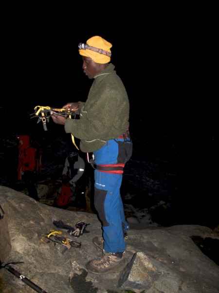
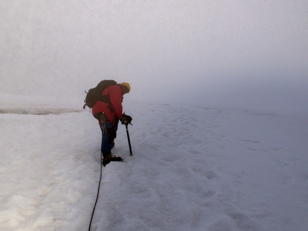
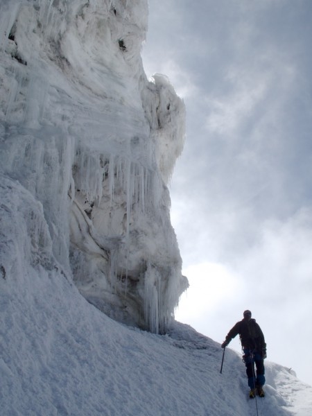
Now the climbing begins. In the 1960s the glaciers came within 30 metres of the hut. Now they are about 500m up the slope. We climb up the rocks to reach ice at the edge of the Stanley plateau. It's far from fresh but needs crampons to cross. The Ski Club of Uganda is one of the world's most exclusive. Membership requires that you ski this glacier and the only club ski race was held here in 1958. Ski conditions are atrocious these days and in a few more years the glacier will be gone altogether.
The route crosses the Stanley Plateau and then the ridge running down from Alexandra Peak before continuing up the Margherita Glacier. Receding glaciers have made this much harder than it was in the Duke's day. He crossed a snowy ridge. Now there is a tricky 50 metre descent down a fixed rope and three ladders tied end to end.
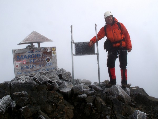
The last hundred metres is a scramble over rime covered rocks in the fog. And from here we can step into the Congo. No border agents in sight. Not that we actually traversed into the Congo and climbed Mt. Albert - Congo's highest fully contained peak.
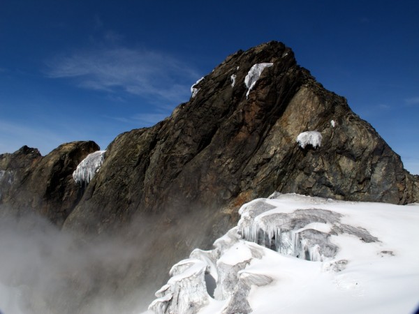
The clouds clear for the descent.
The ice cliffs are really the decaying remains of what was once a much thicker glacier. It won't be around much longer at the current rate of recession.
From this point it's all downhill. We pass by the Elena huts and head down to the Kitandra valley. Before long it's raining again and it's a long descent to the Kitandra Lakes.
This small corner of Uganda is isolated from the rest. To get out of this valley you have to cross 4,300 metre passes or walk all the way through the Congo. And the next day's hike takes us up the "trail" to cross one of the passes.
At Freshfield pass the signature features of the Rwenzori: bog and fog.
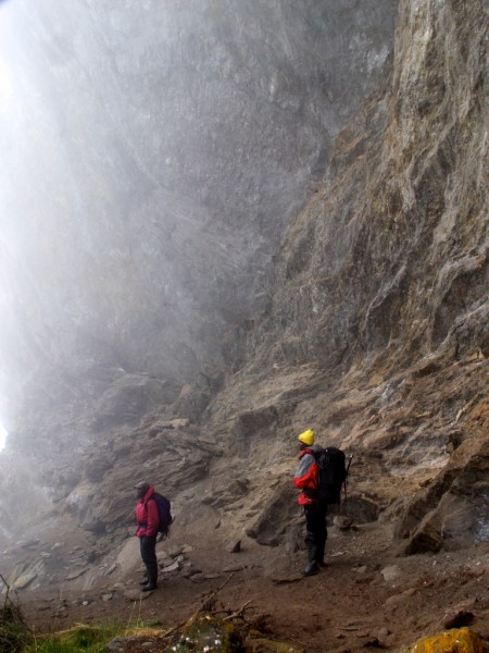
The route down from the pass takes us to the Bujongolo rockshelter. This was the Duke of Abruzzi's basecamp in 1906 and it is large enough to shelter his party of about 100.
We are now in the Mubuku river valley - the last part of the circuit.
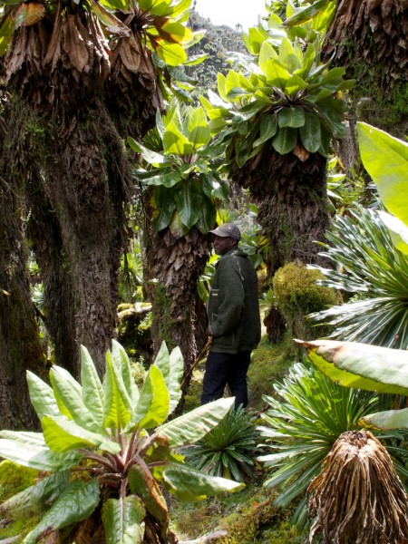
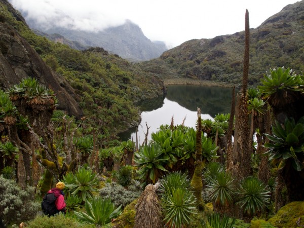
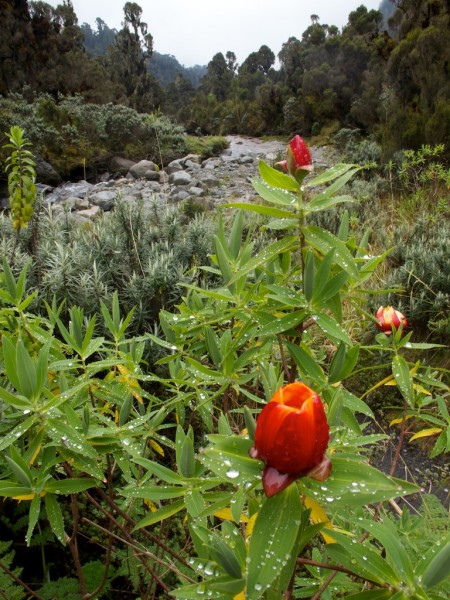
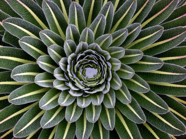
The plants are on steriods in this part of Africa. What are pot plants elsewhere are trees here.
The last night is spent at the Guy Yeoman hut at the upper end of the podocarp forest. From here it's five hours to the gateway village of Ibanda.
And from there it's only a 400 km drive across Uganda to Kampala/Entebbe, a short flight to Nairobi, overnight, and then a long haul to Europe.
Worth the effort? Definitely! It's unlike any other place on the planet, full of history, and some of the most remote and difficult hiking I've done.
I've posted a longer version of this at:
http://homepage.mac.com/roy16/Roy_in_the_Rwenzori/.
If you are interested in Africa climbing, see my trip report for Mt. Kenya. A more technical climb but not with the same degree of remoteness.
http://www.supertopo.com/climbing/thread.php?topic_id=901057&msg=901057#msg901057.
Cheers, Roy
