fetch \ˈfech\
a : the distance along open water or land over which the wind blows
b : the distance traversed by waves without obstruction
Fetch kicked my ass this week.
Visit on photobucket.com
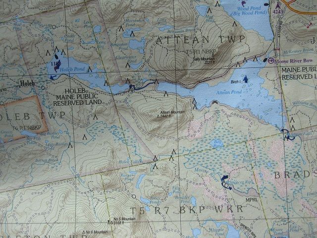
Fall's breathing down my neck and the difficulty of juggling time off, a good wx window, and the need for a shuttle drop-off was making an Allagash trip unlikely this year, so I cast about for another, albeit lesser objective. Settled on the Moose River Bow trip, which has the unique attraction of bringing you back to your put-in; its negatives were blissfully blurred by time since my last visit and I somewhat hastily threw gear together and got out the door by noon on Sunday, headed to Jackman.
Visit on photobucket.com
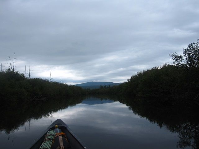
Three-ish hours later, I'm shooting the breeze with caretaker/master guide Karl at the Attean launch, commiserating about the influx of Mass "bobber-fisherman", the introduction of bass into this formerly pristine chain of lakes, and the likelihood of rough water since the wind is already pitching the treetops. I see absolutely no-one else on the water, which suits me just fine (but which may have been another sign of what's to come), push out and paddle round the lee shore.
Visit on photobucket.com
cat's-paw noun \ˈkats-ˌpȯ\
a light air that ruffles the surface of the water in irregular patches during a calm
Nope.
salmon chop
Nope.
comber noun \ˈkō-mər\
a long curling wave of the sea
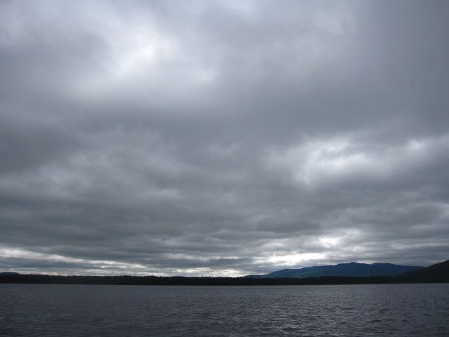
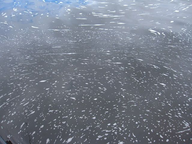
Yep. Swells of a foot-and-a-half, creaming tops, the whole deal.
A steady west-to-east breeze, an east-to-west march, and two 'ponds' and surrounding topography perfectly funneling down onto your little boat.
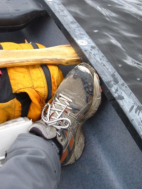
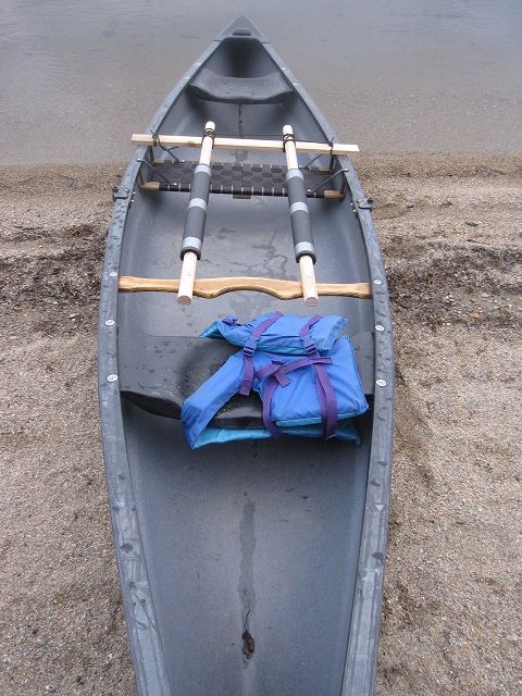
I gave up trying to take pics, gave up trolling line after attempts to retrieve the two small salmon my streamer attracted nearly got me broadside and broached. Focused on steerage and advancement, experimented with tacking to switch up sides but settled on a steady pry stroke just off-wind. Wore a groove in my paddle from the gunnel. Bitch about the oarlocks in my way (mounted for rowing the long parts of the Allagash). Went backwards once or twice.
Fun, but reminiscent of ice climbing in full conditions. That kind of fun, you know?
Visit on photobucket.com
Toward dusk, the wind finally settled, the rise between the two ponds offered some protection, and the portage materialized. Four miles, damn near four hours. I'm light...
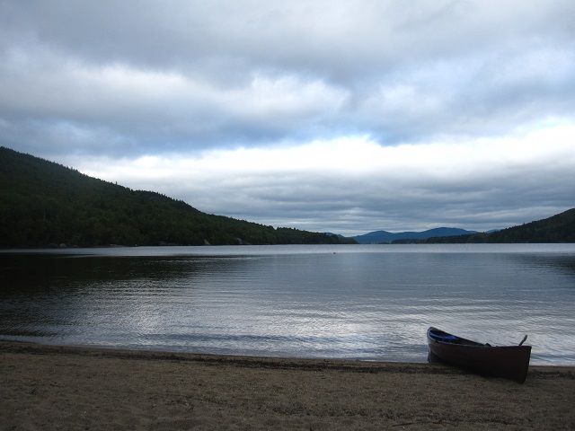
Visit on photobucket.com
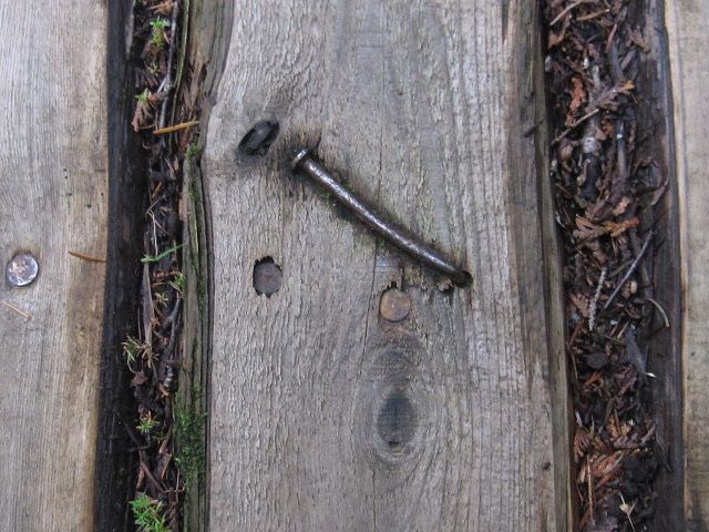
I suspect the Attean/Holeb portage, at 1.25mi, is a deal-breaker for some, but it's pretty well-maintained, pretty flat, and, well, pretty.
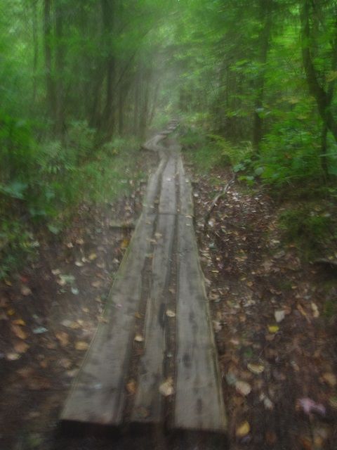
Visit on photobucket.com
Visit on photobucket.com
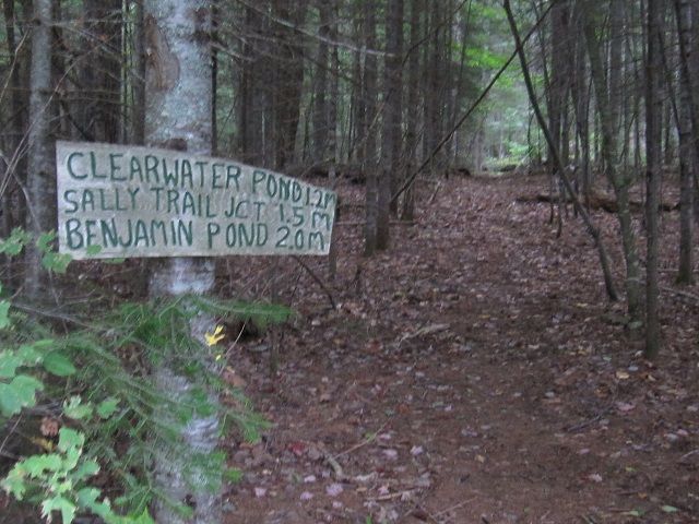
Visit on photobucket.com
However, I'm still buzzing a bit from the recent push, somewhat disappointed to run into another party mid-way through their haul, and starting to feel mission-creep with the slow start and my sorta-tight time schedule for this whole evolution.
I hump my gear, jog back, and heft the pig.
por tage noun \ˈpȯr-tij\
a : the carrying of boats or goods overland from one body of water to another or around an obstacle (as a rapids)
b : the route followed in making such a transfer
Visit on photobucket.com
Which sucks.
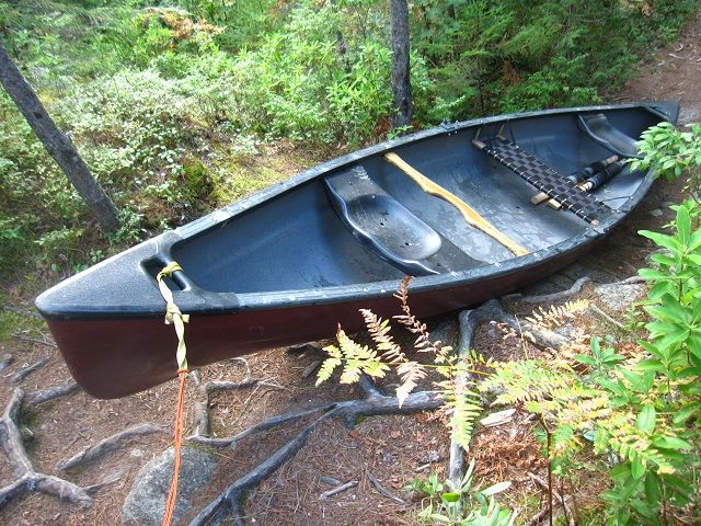
Now, I love this canoe. Why, I'm not exactly sure, as it has no rocker and has a huge waist, making it less than nimble in whitewater; it has no keel, so it tracks like a drunken sailor without constant tending. But it is indestructible, and packs gear like nobody's business.
But it's a tank. It goes nigh on 90 pounds, and this trip requires several "Indian rests" before I'm back out onto Holeb, in the dark.
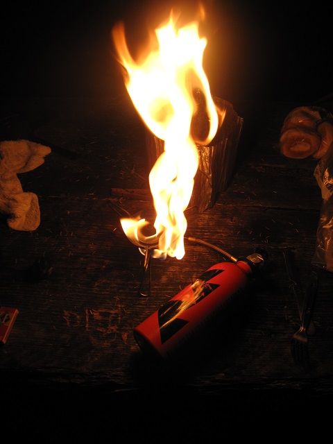
I'm reluctant to share the obvious site with the other party, so I push out in the gloom, feel my way to the next and finally unpack and relax.
Visit on photobucket.com
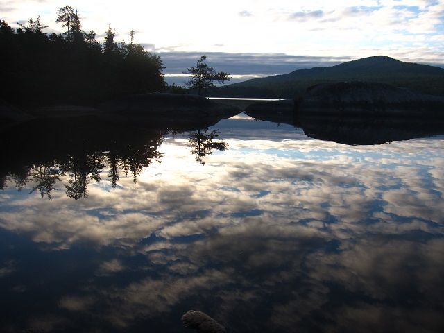
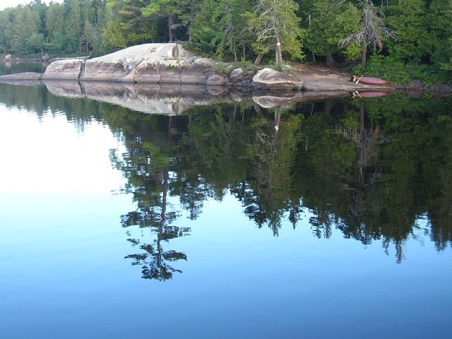
Up with the dawn, admire my surroundings.
Visit on photobucket.com
Visit on photobucket.com
Visit on photobucket.com
Visit on photobucket.com
Visit on photobucket.com
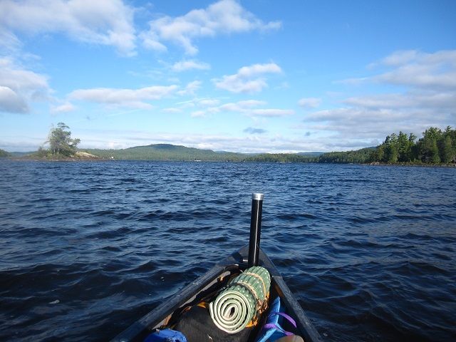
Cast a bit, unsuccessfully. Pack up, and just as the sun's rising ... the wind picks up. Goddamnit.
Visit on photobucket.com
Groundhog Day see 'Bill Murray'
Not as bad as yesterday, but pretty close. It's a smaller pond, probably 3 miles end-to-end, and it's not quite as choppy, but I'm making up no time, find myself going backwards at a few points and have to make myself work into a groove, enjoy the process, Namaste, Namaste, Namaste.
Have to laugh when the west end comes into view. No mistake putting those there, now is there?
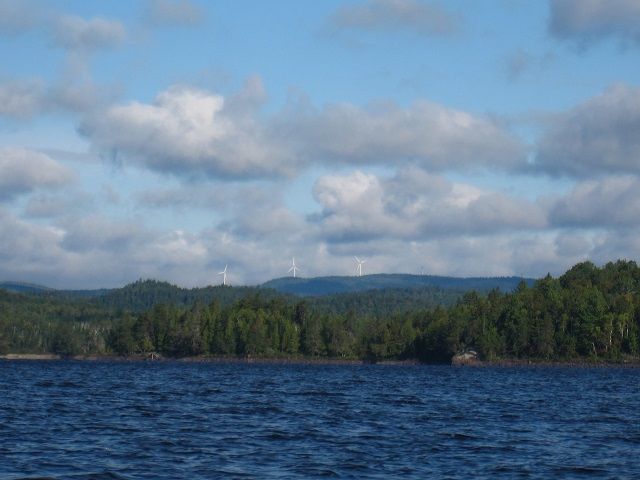
Visit on photobucket.com
hu·bris noun \ˈhyü-brəs\
: a great or foolish amount of pride or confidence
Now being the stubborn sort I am, and memory being what it is, I seem to recall finding the head of the Moose a tricky thing last trip, but I'm fairly confident about where I ultimately stumbled into it.
Well, either I don't know what the hell I'm talking about (likely) or the lower water level has made the rabbit-warren of marsh even more prone to cul-de-sac and reversing passages (also likely, and an explanation easier on my ego).
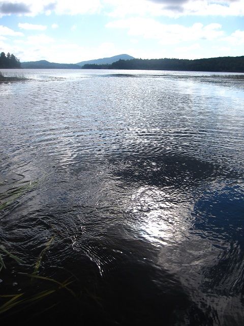
Visit on photobucket.com
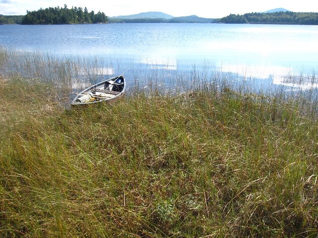
Visit on photobucket.com
I paddle and pole and swear for at least an hour.
Maybe two.
Finally go back onto the open water, reconsider, head south, and Bob's yer uncle, find an outflow wide as a barn. Goddamnit.
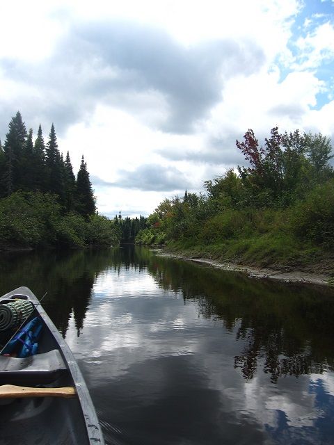
Visit on photobucket.com
Visit on photobucket.com
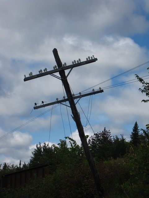
Under an old railway trestle, and onto the Moose River.
Which starts out pretty shallow, narrow, and scrappy, dominated by trees felled by erosion and blow-downs, as well as enormous beaver action (and not the Quebecois stripclub kind).
ox·bow noun \ˈäks-ˌbō\
: something (as a bend in a river) resembling an oxbow
Implied somewhat by the DeLorme map, visible much better in aerial photos, one of the most recognizable characteristics of the Moose is its sinuous path. At this end and again through several lowland sections, it is not uncommon to find your compass bearing change greater than 180 degrees in the span of a couple minutes. And this seems to go on and on and on. And on.
And as if that's not enough, the river is basically flat-water paddling, essentially a long series of skinny ponds between ledges and Holeb Falls.
Visit on photobucket.com
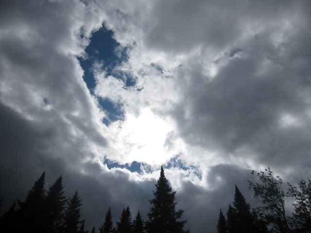
Looming cloud cover and the sun's downward path reawaken my haste. I'm planning to be off this rig by mid-day tomorrow and have the entire length of the river and then a couple miles of Attean to traverse before then. Hmmm ... wind-prone lakes, portages, flatwater paddling - mebbe I shoulda picked a different objective for a time-sensitive trip.
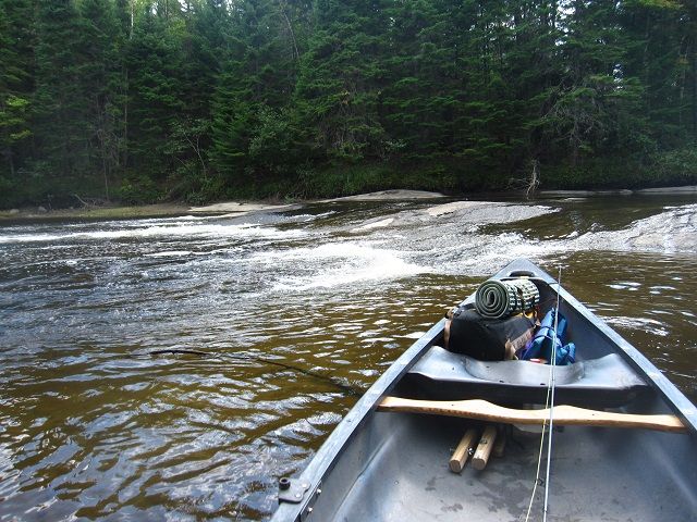
It's midafternoon and I dig in, again. This is a lot like work. Truthfully, though, I really enjoy paddling, much like an uphill ski track. It's honest labor, an end as well as a means. When the wind dies down, I shift from the center seat to the stern, decrease drag and lock into a rhythm, pushed by infantry cadences, dirty limericks, whatever. Eventually, the river takes on the mien expected of a signature Maine waterway. Mud and silt give way to rock and boulder; with the entrance of Barrett Brook she widens and imperceptibly quickens, and my mood lightens.
Visit on photobucket.com
Visit on photobucket.com
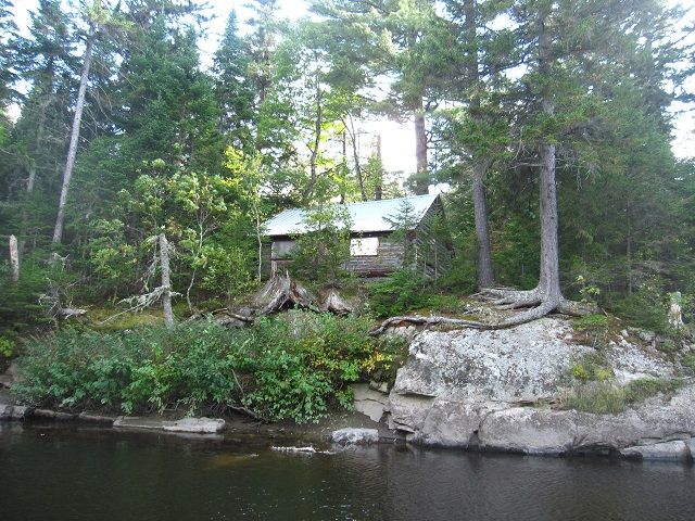
And then, that quickly, the roar of Holeb Falls can be heard, and felt, around the bend.
pokelogan regionalism, an branch or parallel waterway, also a 'bogan'
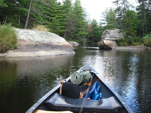
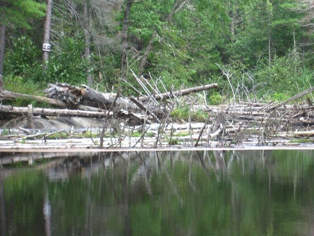
Convenient signage directs you left and then quickly right onto a side stream, through some massive erratics and to the mother of all strainers.
Visit on photobucket.com
Visit on photobucket.com
Yer walking again, yessir.
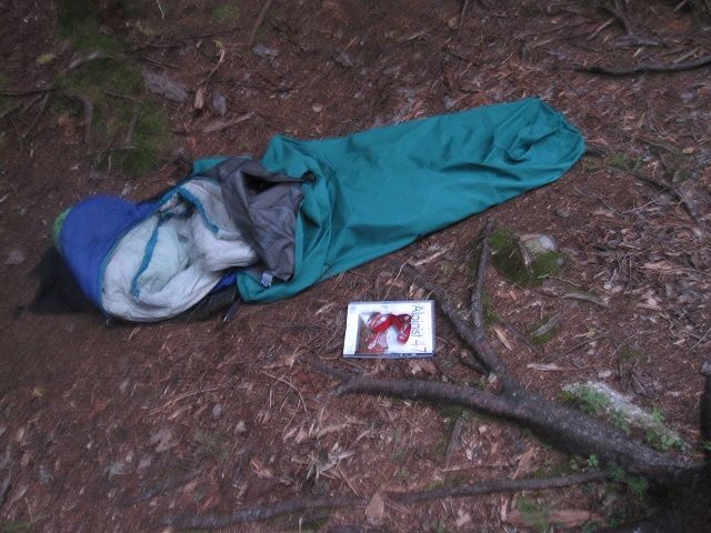
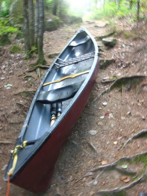
Having NO recollection of this part of the trip from two decades ago, my optimistic mind suggests it can't be too long or hard, right? Well, not so fast. In truth, it IS shorter than the last, but what it lacks in distance is made up in elevation gain and loss. My shoulders, recalling two days of upwind grind, one long carry, that root under the bivy sack last night, and that tree at Mad River Glen long ago, say together "Screw you".
tump·line noun \ˈtəmp-ˌlīn\
a sling formed by a strap slung over the forehead or chest and used for carrying or helping to support a pack on the back or in hauling loads
Visit on photobucket.com
Visit on photobucket.com
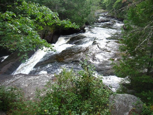
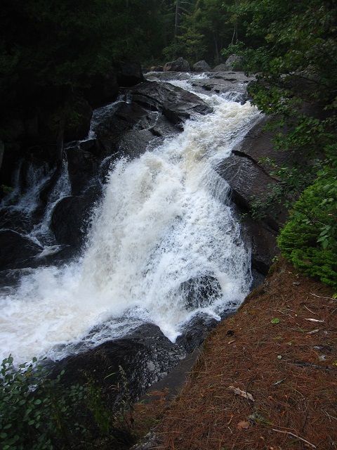
A quick hike out to see the falls (30 feet or so of drop) ...
Visit on photobucket.com
Visit on photobucket.com
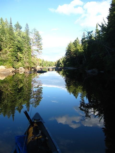
... and back onto some of the nicest sections of the river.
Visit on photobucket.com
[Now here it gets a bit embarrassing. Lining the canoe down a step-ledge (low water throughout has made the rips and falls pretty bony), I ship some water. NBD, as the kids say, except the camera ends up floating in the bow until I unload the gear to bail. Blot dry, blow out the batt and card, depress power button > fizzle. Sigh.]
It's getting late. Instead of setting up shop at Holeb Falls, I press to Spencer Rips, another hour or so downriver. The one site here is already occupied, so I burrow into the woodline next to the river, make a quick dinner and crash, finally feeling relaxed about my timeline and hoping to sleep the sleep of the just and righteous.
Except ... apparently, I'm next to a game trail. And throughout the night comes the 'tick, tick, tick' of deer hooves on gravel, then they stop, wait, catch my scent or hear the bivy sack rustle and either 'tick, tick, tick' away or give a big warning snort and crash into the bush.
Other than putting a kibosh on my expectations of a good night's sleep, this isn't too distressing. However, the thought of a moose coming down the same path and either blundering over me to get to the river or more scary, being startled to find me in the way and deciding to stomp me to death in anger, kinda keeps me on edge. It doesn't help that, being an, ahem, 'active' sleeper, I stake my bivy down most of the time. Encased in a mummy and then pegged to the ground like Gulliver is not conducive to a quick getaway, and it takes a while before these thoughts are crowded out by unconsciousness.
Visit on photobucket.com
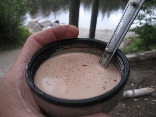
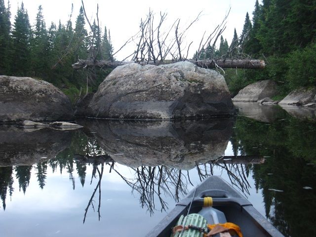
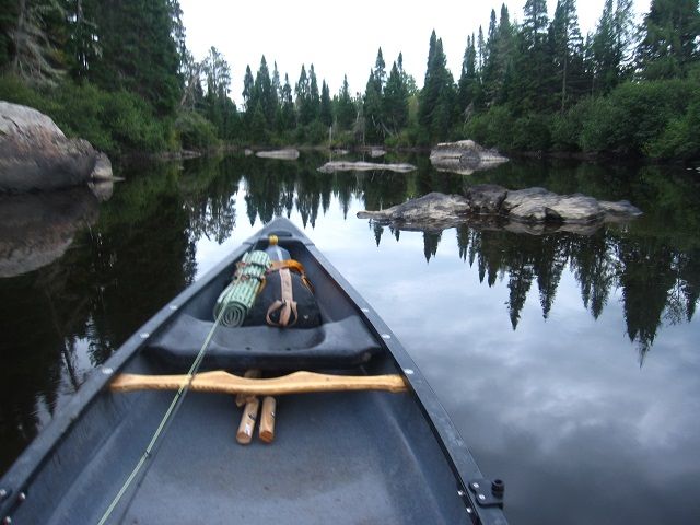
Of course, nothing happened. I woke up, probably around 0400 by habit, waited until the false dawn made an appearance, and got grub and some fishing in. The camera, having spent the night in the bag with me, proved to be sporadically working, so I limited its use and vowed to keep it dry the rest of the trip.
Visit on photobucket.com
Visit on photobucket.com
Visit on photobucket.com
And the trip was nearly over. It started drizzling by sunrise and continued until I was out on Attean again.
Visit on photobucket.com

Visit on photobucket.com
But the paddling was less frenzied, mission creep had been negated, and despite the lean conditions, Attean Falls, at the end of the Moose - a series of two drops of 50 yards each, were runnable in the unloaded canoe, making for the only real whitewater of the trip. I did end up wading out to a couple high-sided in their Tripper to pull them off and get the rig straight for the next bit, and caught a few small trout below the falls.
A quiet and mercifully calm paddle across the east end of Attean got me back to the car. Said hi and thanks to Karl, packed up, and grabbed a greasy meal in Jackman. Drove home pleasantly tired, picking up a through-hiker redolent of trail and resin for a short bit before dropping him off at 16 along his way up to Baxter.
Visit on photobucket.com
Visit on photobucket.com
Car-to-car: 44hr
Distance: crow flies, 18mi; actual travel, 34mi or so
Birds: heron, eagles, osprey, red-tail, flickers (many!), scrub jays, bank swallows, crows, raven, various sparrows, red-head and downy woodpeckers, Canada geese, loons, red-wings, and a bunch of waterfowl I need to look up
Other critters: beaver, beaver, beaver, beaver, beaver, the eponymous ungulate (a cow moose making her requisite appearance), beaver, beaver, beaver. Last trip out I also had a bear cub in camp one morning and saw the aurora - YMMV.
This is a great trip, especially for a 3-4 day timeframe and for folks not looking for fast water. I prefer the Allagash, Aroostook, and Penobscot rivers, but for solo travel, with no shuttle needed, it's hard to beat.
Thanks for playing.
Dale