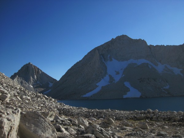
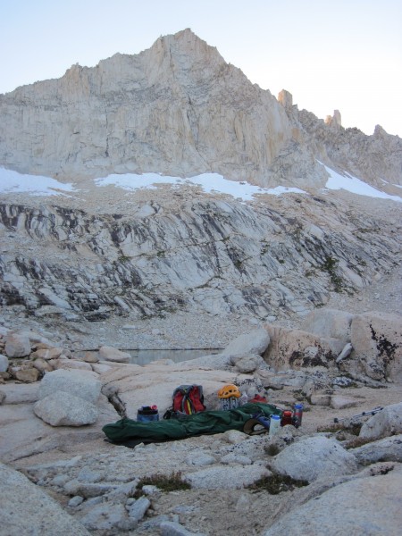
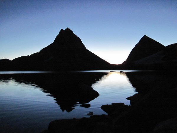
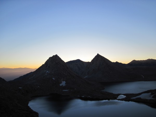
With the weather forecast predicting great weekend weather, another project was in order and I had two days for it. My backup plan was to climb the North Couloir on Feather Peak (13,242').
Flanders posted a couple of nice Feather Couloir pictures on a Sierra ice conditions Supertopo thread and re-piqued my interest in doing the couloir (see his 8/27/10 post on this thread: http://www.supertopo.com/climbing/thread.php?topic_id=236419&tn=0&mr=0 ) I had also read Rob Yang's TR on his Feather epic and about the route in Moynier and Fiddler's "Sierra Classics - 100 Best Climbs in the High Sierra" guidebook.
On Friday (9/10), before learning that I did not have a partner for the N Arete on BCS, I had the pleasure of day hiking the NE Ridge on Bear Creek Spire with one of my brothers. http://www.supertopo.com/tr/NE-Ridge-on-Bear-Creek-Spire-9-10-10/t10764n.html Great views, some exposure in spots, and overall some fun scrambling and climbing. Our BCS adventure was about 11 miles round trip with about 3600' of elevation gain. From BCS, I got a good look at Feather Peak and decided that if my second BCS partner had to work Saturday, my weekend goal would be the North Couloir on Feather Peak. From the topo map, it looked to be approximately 17 miles round trip and to gain 6200' from the trailhead to the summit.
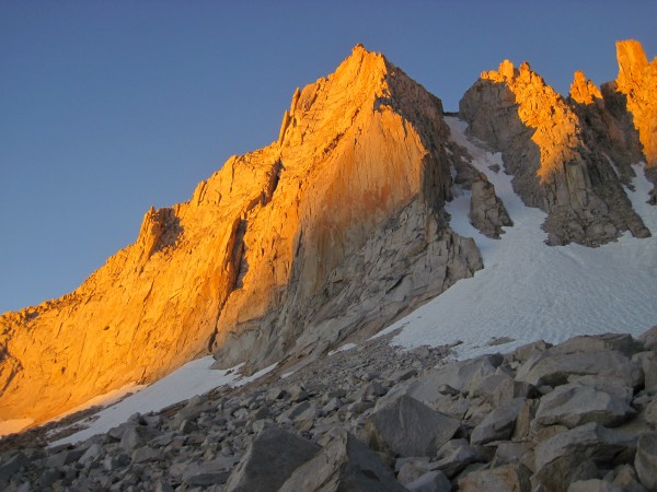
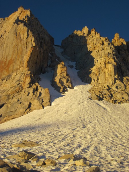
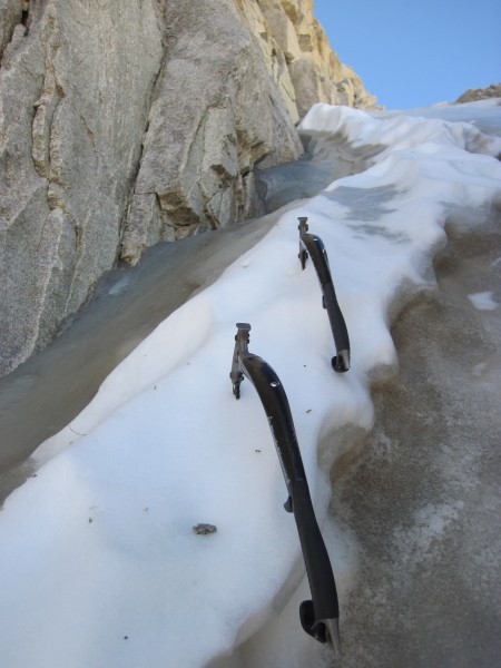
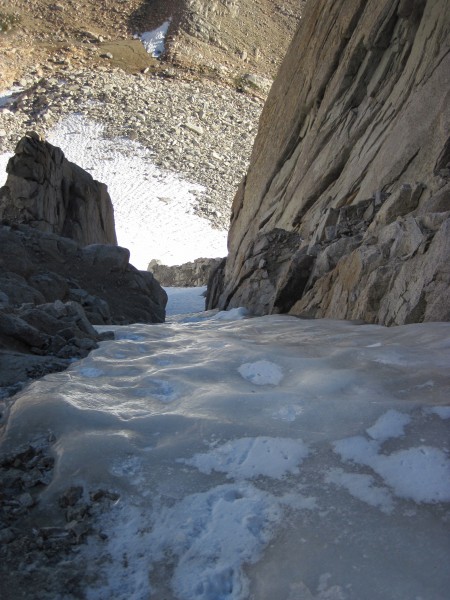
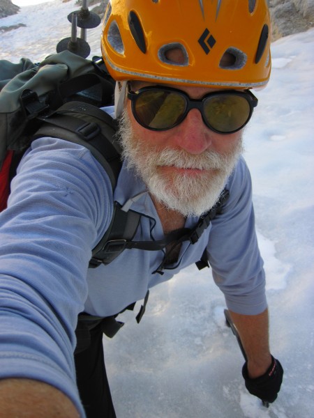
I took the left branch since it looked like I would be on ice sooner than in the right branch:
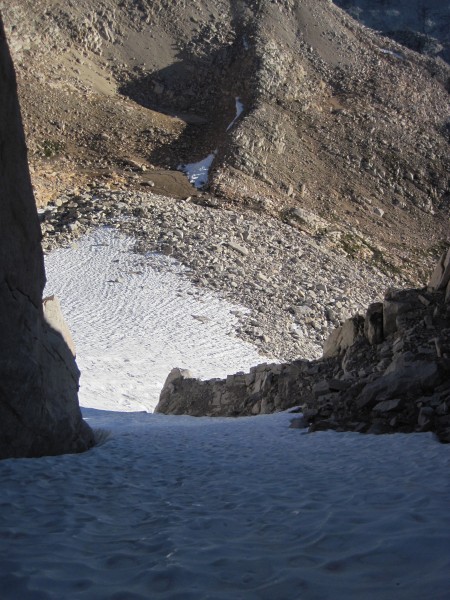
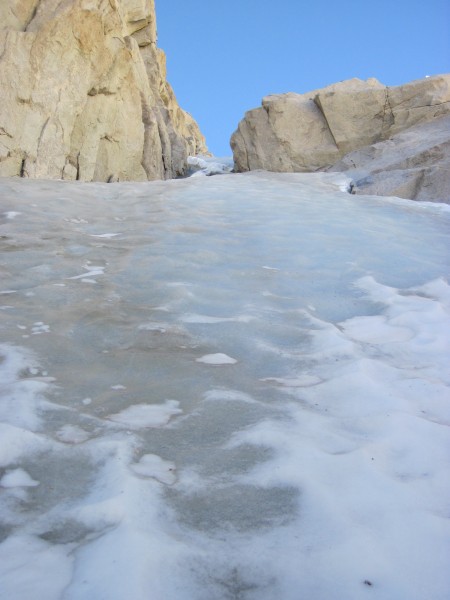
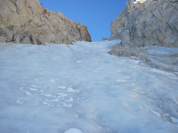
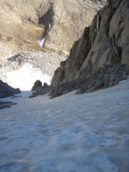
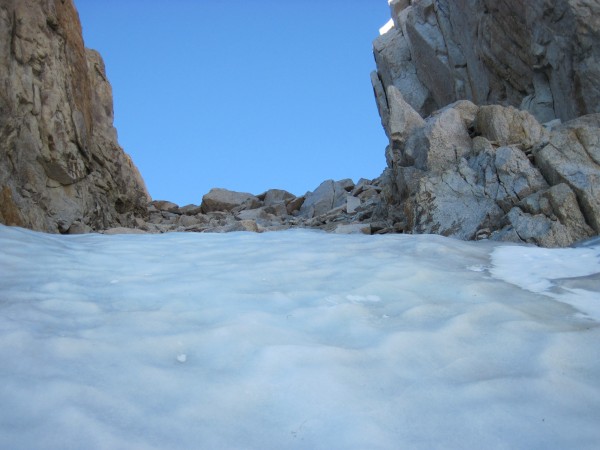
Looking up at the ice with the buttress on the right. The climbing is not done once the buttress is passed. If you go back to the first picture, you can see that the couloir continues for quite a ways above the rock buttress:
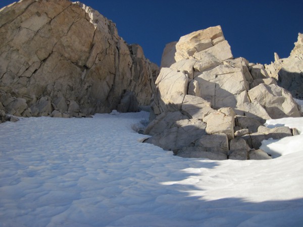
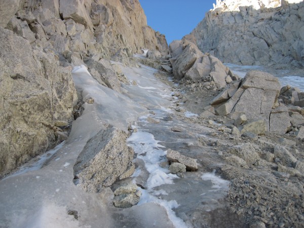
The ice was running out in the left branch, so I moved over into the right branch. Much of the loose-looking rock, sand, and gravel was actually still nicely frozen in place. I don't think I dislodged a single rock in my traverse:
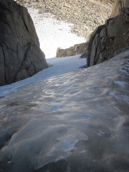
Getting into the right branch - less ice below than in the left branch:
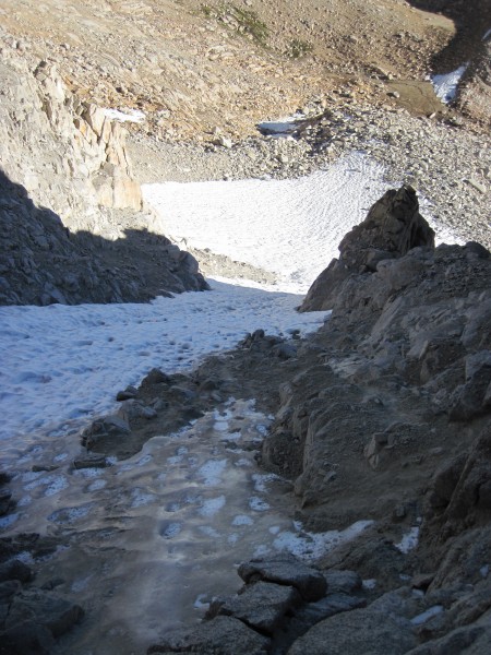
The end of the ice is nigh:
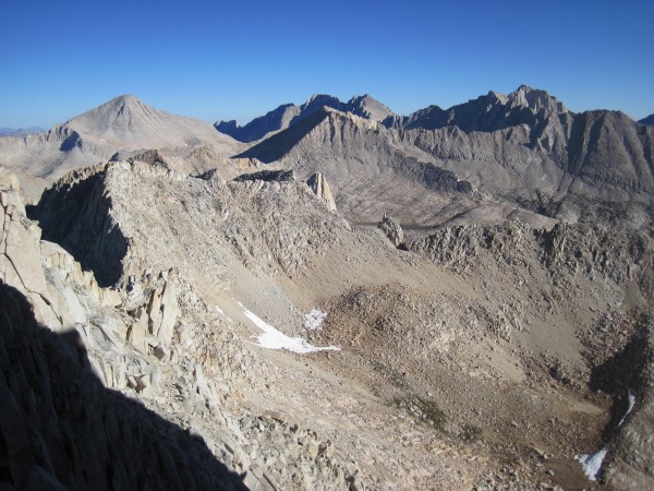
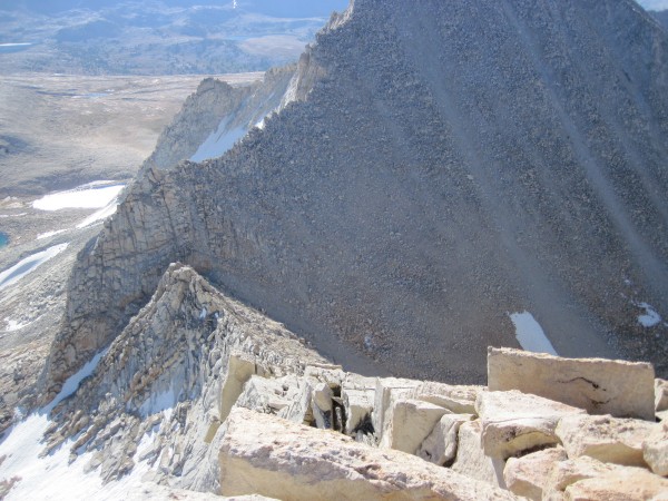
View from the top of the couloir included Bear Creek Spire:
Hiked to the summit, checked out the summit register, and scoped out the descent:
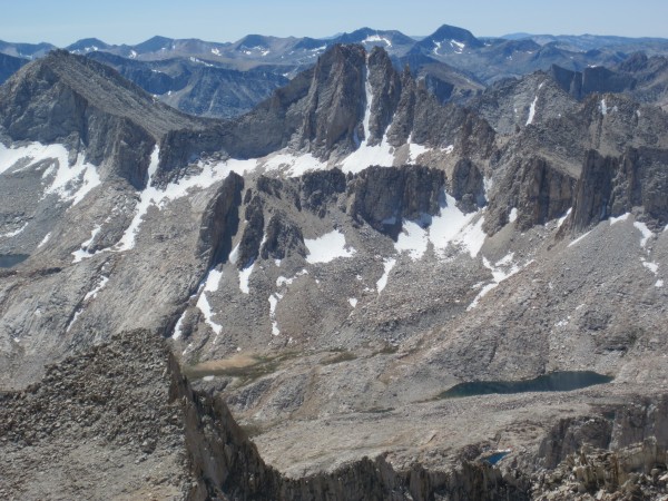
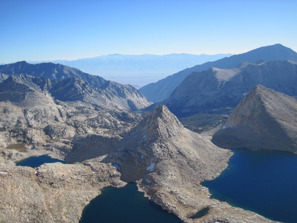
Royce Lakes from the summit with the Pine Creek drainage stretching off into the distance from the middle of the picture:
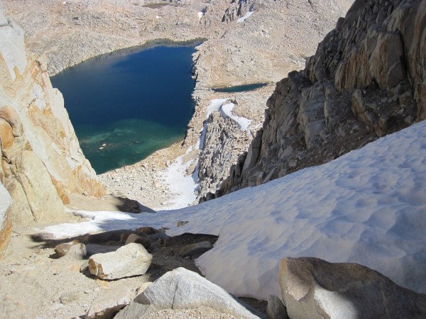
Visible below this descent gully at the col between Feather and Royce Peaks is upper (left) Royce Lake and the land-bridge that separates it from the lower Royce Lake (out of view to the right). My camp was located about mid-way between the snow just above the middle of the picture and the puddle to the right of the lake. That puddle is actually the stream between the upper and lower lakes:
Climbed down the gully to my camp, packed up and hiked out.
SUMMARY:
Feather Couloir ice conditions: easy styrofoam snow leading to fun ice. Good conditions and great views.
Weather - clear skies, mild temps, and very little wind (very unlike the weather I had just a few days earlier on North Peak). Perfect.
Crowd conditions: met a party of two at the Ranger station in Bishop while picking up my wilderness permit who indicated that they were going climb the couloir. I didn't see them again after starting up from the trailhead.
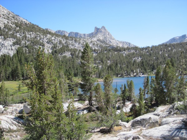
Trail: straight forward from trailhead through the stables (go in the gate, between the buildings, and up the trail), past the somewhat unpleasant looking tungsten mining operation (still active), climbing and leading to some nice scenery with Lower and then Upper Pine Lakes, followed by Honeymoon Lake, and cross-country hiking up slabs through the broad col leading to the Royce Lakes and Merriam, Royce, and Feather Peaks.
Misc. info for your general interest:
Guesstimating from a topographic map, it looked to be approximately 17 miles round trip and 6200' from trailhead to summit. For comparison: BCS was about 11 miles round trip and had about 3600' of elevation gain.
The hike from the trailhead to my camp between the Royce Lakes took 6 hours. Better route finding between Honeymoon and Royce Lakes could have shaved off a few tens of minutes, but I was in no hurry and meandered somewhat.
My approach hike from camp along the lake, past the couloir, and then up to the snow field below the couloir to where I geared up took one hour - interrupted by numerous stops to take pictures.
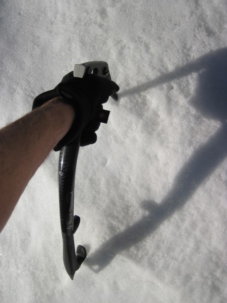
Had 72 minutes of fun with crampons and ice tools from my gear-up spot at the edge of the snowfield to the top of the ice in the couloir.
The descent from summit to camp was longer than I had hoped it would be (Rob Yang warned me it was long) at 2 and a half hours.
Total camp-to-summit-to-camp time was 6 hours.
Hike out was 4 and a half hours.
All of the aforementioned times could probably be significantly shortened had I been in a hurry. However, I had 2 days and no worries. Placing pro and belaying a partner up the couloir would have taken somewhat longer.
Seems to me that 2 days is perhaps a reasonable minimum time a team might devote to hiking in, camping overnight, and then climbing Feather Peak's N Couloir early the next day in order to also hike out. A 3rd day for the hike out might be nice for some teams.
Cheers!
