Forbidden is an apt name for the mountain. Just getting to the climb is an ordeal; the crux is the approach and descent. And permits to camp within striking distance of the peak are notoriously hard to come by during the summer climbing season. But it's worth it – there is a reason one of the other climbs on the peak, the West Ridge of Forbidden, is one of the 50 classics. Matt, Bryan and I took advantage of that rare commodity in Washington – sunshine and blue skies – to climb the East Ridge of Forbidden.
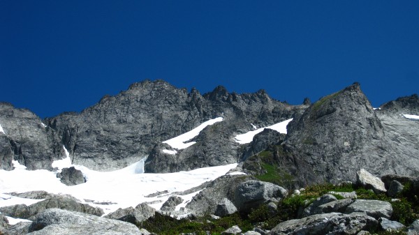
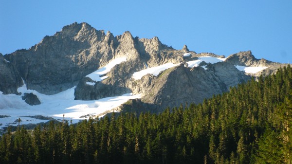
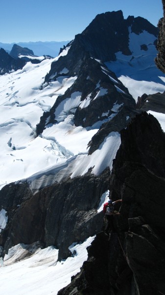
Here is Forbidden, with the East Ridge on the right-hand side.
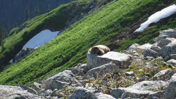
To get there, we had to bushwhack through something I will not dignify by calling a trail, because a trail implies some level of maintenance. It is generous – too generous – to call the route to Forbidden a path. A path through overgrown vegetation, over and sometimes under countless downed logs, and across raging streams fed by glacial runoff. Even the wildlife gets tired just getting to Boston Basin.
We camped at the high camp in Boston Basin, directly beneath Forbidden. From high camp, the approach to the east ridge was fairly straightforward and reasonably safe. It was mostly snow, with some small crevasses opening up at the very top. Here is the view from the upper snowfield, just below the ridge line.
The first pitch navigates around one of the many gendarmes on the ridge. Hello, rope drag.
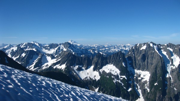
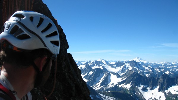
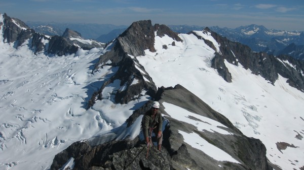
Pitch 2 ascends the knife-edge ridge, which narrows in places to only a few inches wide. It's a wild, spectacular pitch, with views on either side of glaciers and snow capped peaks. Here's Bryan belaying at the top of pitch 2, with Glacier Peak in the background.
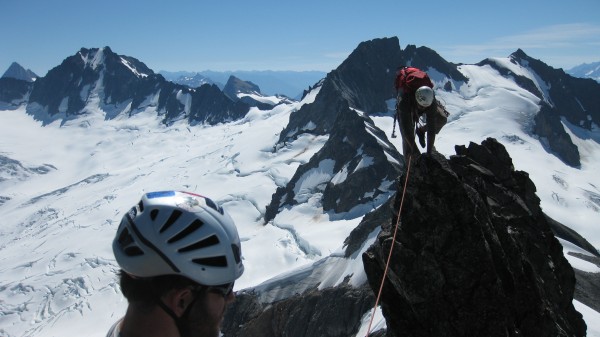
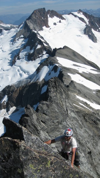
We stayed on the ridge for pitch three. Here's Bryan belaying Matt on the third pitch.
Despite what the Nelson book says, we all thought that the end of pitch 4 was the crux. Not that it's much of a crux – 5.7 feels about right. But there is a short, steep section at the end of the fourth pitch that is noticeably steeper and harder than any of the other sections of the climb.
I led the fifth pitch, and had difficulty finding the route – until we spotted the piton on the left side. The fifth pitch was the only place where the route finding didn't seem completely straightforward (of course, I'm no expert alpine climber; most of my routefinding consists of following color-coded plastic routes).
The last two pitches were the final chapters in a story of amazing, moderate ridge climbing with lots of exposure.
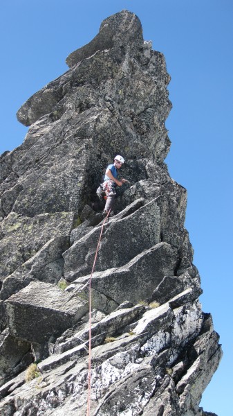
This is Matt nearing the summit.
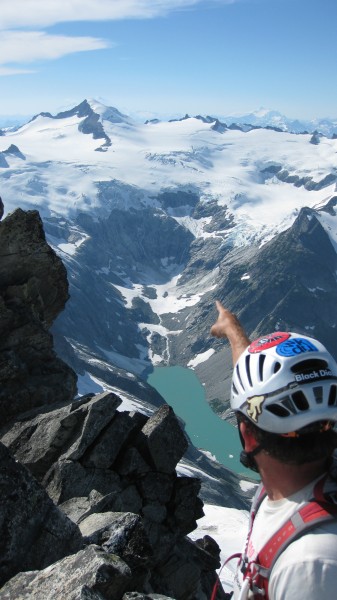
And here's Bryan at the summit, pointing towards El Dorado.
After reluctantly saying goodbye to the summit and the wild, remote landscape of the North Cascades, we rapelled the south face and traversed the ledges back to the start of the climb. The Nelson book features a photograph of the south side descent that might have you worried – we were worried! – that the traverse cuts across a steep face where a slip means plunging off a sheer face and plummeting thousands of feet. In reality, the descent down the backside, like the climb, is very mellow (in my opinion). People have set up lots of rappel stations on the sides, so it's easy to get confused, but we made five rapells straight down with one rope. We then traversed back to a loose gully that brings you back to where you start on the ridge. The traverse seemed relatively safe – there are definitely other things, like the stream crossings, that seemed more dangerous than the traverse.
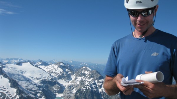
FYI – if you climb Forbidden, please bring a pen or pencil (unless you want to support converting the summit register to a digital format)! A summit register is not much use if you can't write in it.
