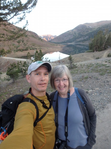
My Mom is terrified every time I head into the vertical. When I started surfing in college, she would send me newspaper clippings of shark attacks and drownings. When I took up climbing, she made sure I heard about every accident to make the news: Severed ropes, exposure deaths, rockfall, soloists paying the ultimate price- nothing escaped her attention. After a few years of me coming home at the end of the day no worse for wear, she has mellowed considerably and even drove me to Saddlebag Lake for an 0630 blastoff- What a great Mom!
Saddlebag has that unnatural harsh vibe common to dammed reservoirs. I quick stepped the rocky trail to get it over with and hung a left at the boulder that is the gateway to heaven..
Few things in this world are better than moving through the cold still air of a High Sierra morning with a belly full of coffee and a quiet brain.
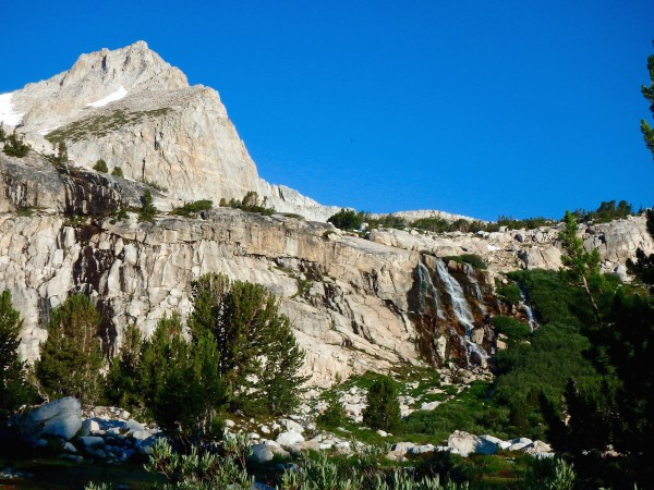
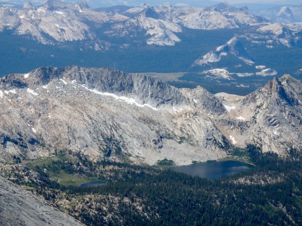
The approach heightens the anticipation by doling out the goods one topo contour at a time. After you cross a wet meadow and get established on the north side of the basin, these cascades are the next waypoint
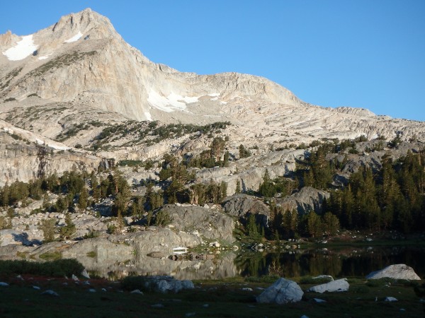
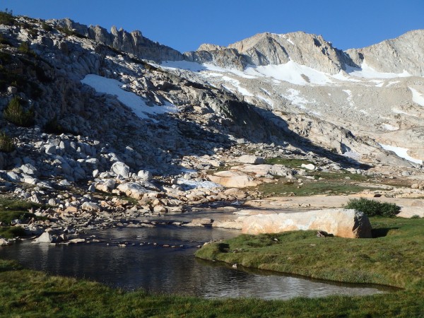
After topping out the slabs next to the cascade, you are confronted with a view that every human with a camera has been compelled to record
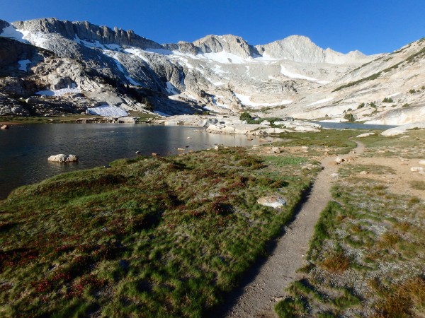
It took considerable discipline to avoid stretching out on the flat rock next to the lake and "tripping balls" for a spell. It helped that the trail at this point is a laser cut tractor beam pulling you through the spongy meadow towards the arena..
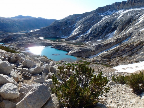
At the last of the Conness Lakes the trail isn't obvious, and a rock band up the hill gave me an excuse to stand around and navel gaze with the compass and map. "Left or right? Hmmm, better take some sights on the surrounding peaks to find the perfect angle of ascent...." it was a nice little procrastination session before refilling my bottle and tackling the business of getting up the talus.
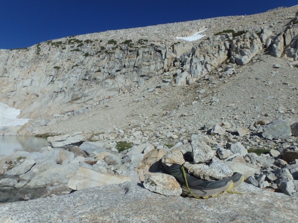
At the last little tarn in the drainage there was an interesting puzzle- A pair of trail shoes on top of a boulder, tucked in by rocks. Did someone change into heavy boots at this point to tackle a route up the glacier?
The gully through the cliff band is filled with deep sand and scree. Make like coyote = light on feet. There are a couple ways past the steepest part, but the easier notch was pouring with water so I decided on a 5th class hand traverse move under an overhanging boulder. It's the only move that required a good grip the whole day.
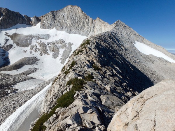
A trail takes you along the top edge of the cliff band until you arrive at the saddle between the North Ridge and North Peak. From this perch, your eye can trace the entire route to the summit and down to the plateau. The horizon was bluebird x 360 degrees. No wind. Well then! Don't mind if I do!
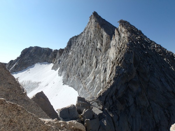
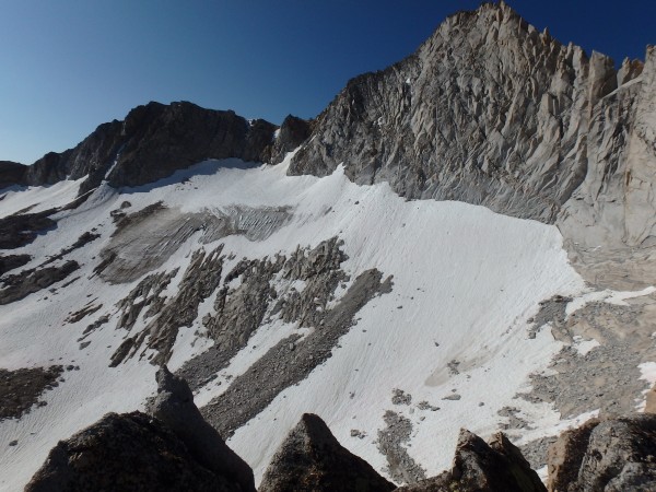
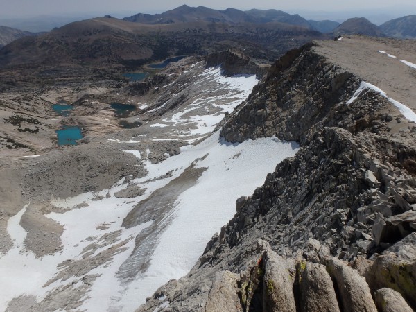
The glacier itself is in sad shape and got a little smaller when a fridge sized block cut loose from the upper slopes. After this trip I went back and looked at photos of the glacier in past years and it only increased the melancholy. Like seeing a high school yearbook photo of your friend who is now wasting away with disease.
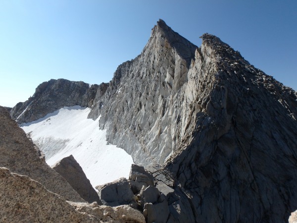
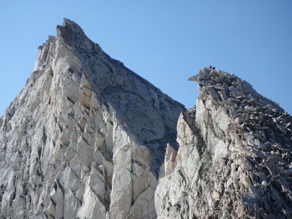
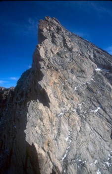
The climbing on the ridge itself is secure and because there are so many features in the rock I never felt exposed. There is always a ledge or flake or bulge somewhere just below. Passing the first tower was the route finding and exposure crux for me. I sniffed around the right side at a couple different elevations without success (looked easier from below), then snapped the next couple photos from the top before backtracking and taking the standard sandy ledge crossing to the left.
At the second tower I caught up to a team that was waiting for a fast-moving party to pass through and clear the raps. They (Doug and Seth I believe?) generously offered to let me rap with them, saving me time and the effort of breaking out my own rope. At the second anchor, Doug shared a story about his partner in Tahquitz who got nailed on the hand by a rattlesnake while rappelling. Thanks a lot bud, for one more reason rappelling sucks!
At this point I put the camera away and sacked up for the shaded, intimidating, 500 foot "headwall". I went about twenty feet before realizing that the climbing is actually cruiser and secure, and the fall line slants away from the glacier. It was very easy to follow the lines of weakness and stay on bomber features all the way up. I suppose if you were to stay way left on the edge of the face over the glacier you could find some 5th class climbing but I didn't come across any (Disclaimer, I have a hard time discerning between between 4th and 5.easy).
As the angle starts to ease, there are plenty of spots where you can traverse ledges over to the edge and look down onto the glacier for a nice jolt of exposure in total safety. Nearing the top, the left side is interrupted by some towers with steep uphill sides. If you don't want to deal with this terrain, contour towards the west ridge and go around.
The summit is a place to let your jaw go slack and drip drool in a tidy circle as you rotate inch by inch and let memories of all your past adventures come flooding back for a while.
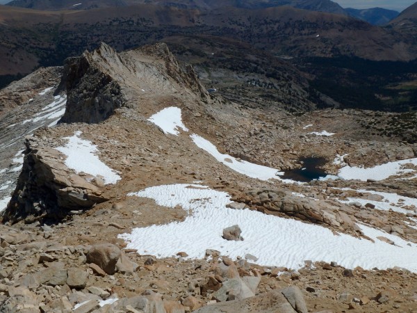
Eventually (45 minutes in my case) the marmots close in for the kill and it's time to go. By now it was high noon and my bottle was dry. The sun was bouncing up off the granite, erasing all shadows and encouraging a brisk pace to the snow patch guarding the plateau.
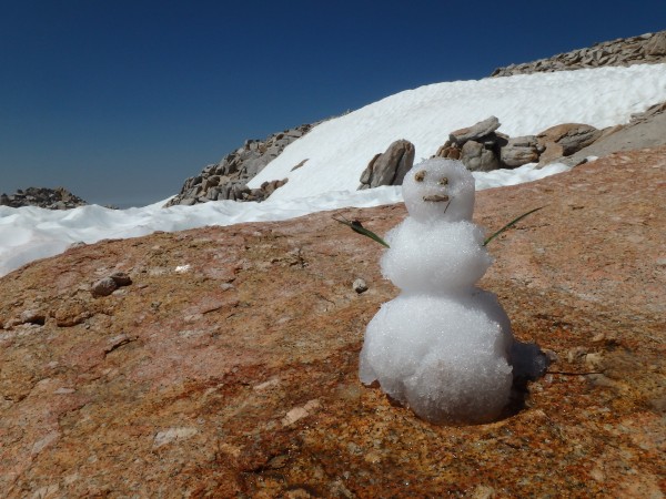
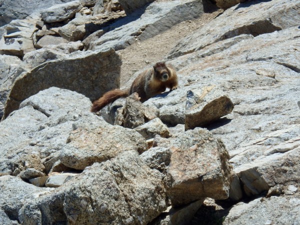
On the East Ridge descent I encountered an unlikely fellow clearly not enjoying the heat...
I ignored his desperate pleas to help him escape, and turned away to see that a ferocious beast had flanked me in my moment of distraction!
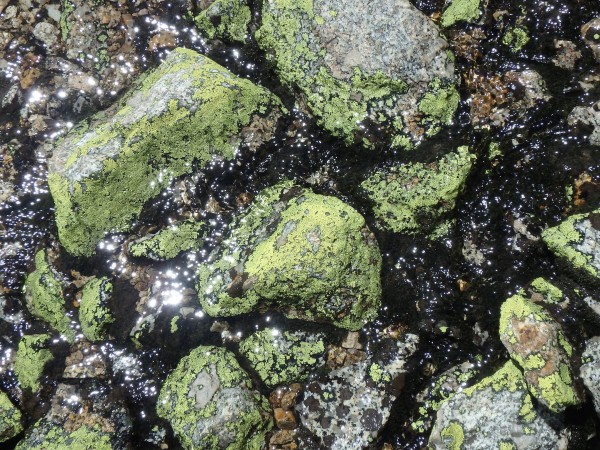
After that close call it was clear that I needed to descend to safer ground pronto. It was difficult to keep a good pace however because something as simple as filling a bottle would stretch out into a several-minute-long meditation on lichen...
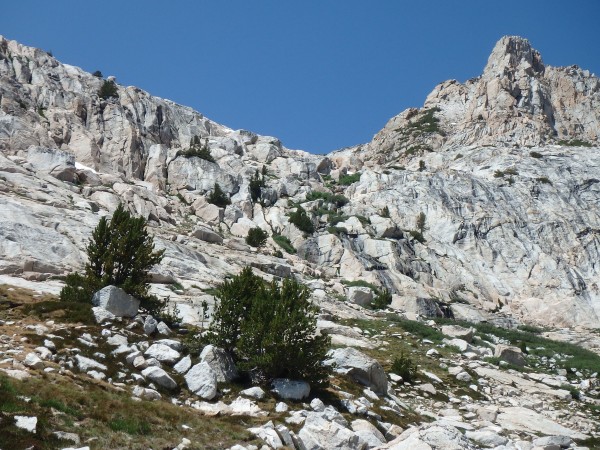
The next hour was a blur of boulder hopping and friendly angled slab, crossing through the saddle just south of the ridge and following the water down into the long forested valley which holds the trail, research station, and Sawmill campground.
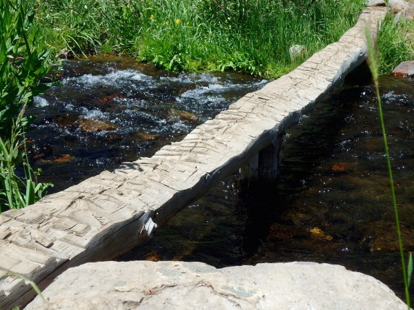
The stream crossing to Sawmill is the last example of how cruiser this route is. No slippery logs or wet shoes for us! No sir, this stout and carefully hewn timber will do nicely, thank you.
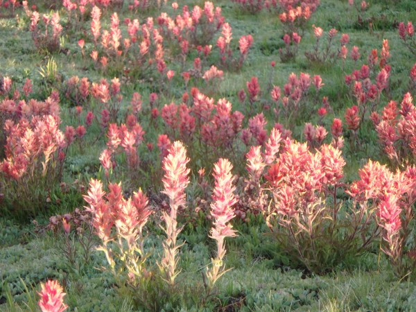
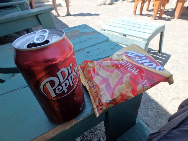
I was an hour ahead of my expected return window, so I foraged for wild snacks while waiting for my ride.
Reflections: If we are indeed past the tipping point of a warming climate, how long before the Sierras will begin to resemble So Cal/ Mexico? Seeing the rocky face bursting out of the glacier's chest like the movie "Alien" was sobering. Faced with this prospect, we can either learn to love our new hotter drier range, or migrate northward into the welcoming arms of our Pacific NW neighbors. Either path we choose, it is harder than ever to take what we have for granted. Thanks for reading!
