This summit was 2 weeks after summiting North Palisade and Polemonium in the same day with legendary guide Kurt Wedberg. That trip report is coming soon. This time no guide but our group had solid technical leaders Casey Flowe and his friend Jason.
3 years ago I had planned a Middle Pal. Summit trip with co-workers. Two days before we planned to depart, my son Matthew (26) died tragically in a small plane crash on 8-13-13 while working for PG&E and the group proceeded without me in his honor. My son was an avid slack-liner, boulderer and climber. While they didn’t summit, they made a valiant attempt.
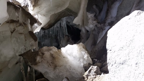
2 years ago with James Kenworthy and Mark Melville we again attempted Middle Palisade. This time we hiked up to the edge of the Middle Palisade glacier near the bergschrund to find the Class 3 Secor Route. There was no evident class 3 route anywhere near where it was reported. Seems the Glacier has receded so much due to global warming that that route no longer is evident or class 3. During the search for the route, James Kenworthy actually ventured behind the bergschrund and under the glacier. We lost contact with him for 15 – 20 minutes and feared for the worst but he reappeared after an extensive route search.
James under the Glacier on prior attempt.
I gathered beta from several fellow hikers (including Julian Valdez and Sarah Daou Titan) that the red rocks route was the best option and recruited good friends Eric Peterson, Alex Rogers and Casey Flowe to join me. Casey invited Hillary and Jason from Fresno as well and we had a large team of 6 attempting to climb a steep chute notorious for rock fall.
We started off on the South Fork Big Pine Trail (4th time for me) on Saturday 9-10-16 at 9:07am after eating at Jack’s and driving from Bishop.
Trailhead – 7800 ft started at 9:07am
Willow Lake – 9600 ft
Brainerd Lake – 10,250 ft reached at 12:18pm
Finger Lake – 10,800 ft reached at 2:00pm
Middle Palisade – 14,019 ft.
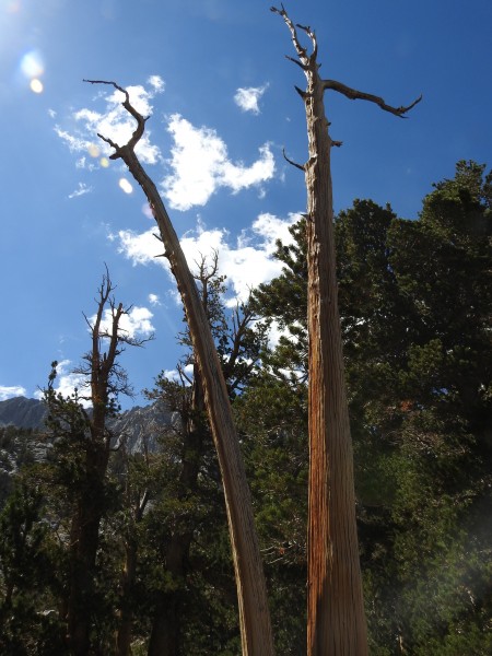
We hiked past these amazing trees near Brainerd Lake
And finally reached Finger Lake by early afternoon to setup camp. Here’s a panorama of Finger Lake.
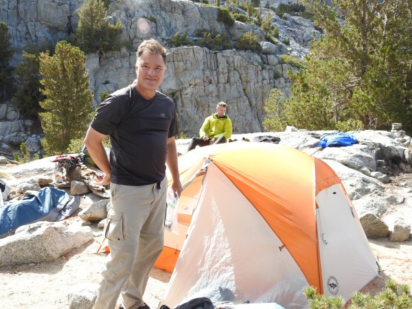
Here’s Eric Peterson setting up camp.
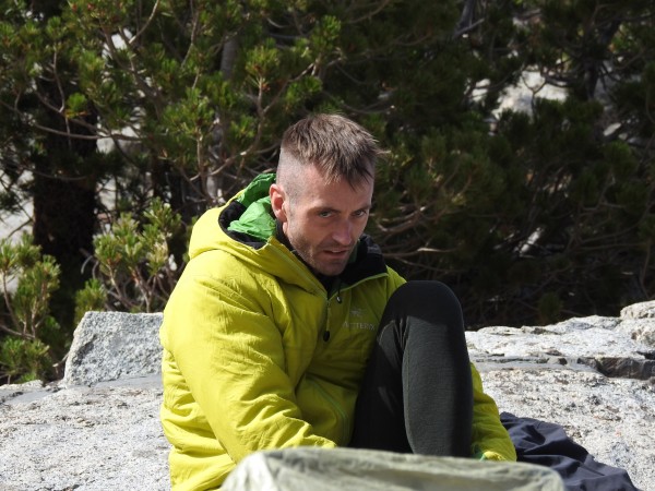
Casey with his ‘gotta do this’ face.
Weather report showed approx. 1 inch of snow arriving the next afternoon (summit day) so we knew an early start was critical.
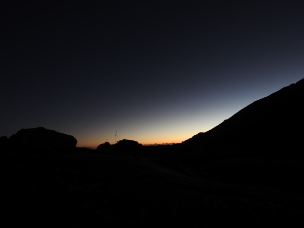
On summit day (Sunday, the 15th anniversary of 9-11), we got up at 4:00am and were on the trail at 4:40am (just as another couple left Finger Lake camp via the right side of the lake), this time we headed to the left of Finger Lake instead of the usual/recommended right side. Casey and Alex had scouted the route the day before. This route is a little steeper in general however it has water and streams most of the way, unlike the classic route and we reached the base of the moraine before the other couple.
I was the slowest in the group at age 62 and after open heart surgery the year before to repair an aortic aneurysm and replace my aortic valve (genetic issue). Thanks to Casey and Alex for taking a couple pounds off my pack, I was still feeling effects from my double summit of North Pal and Polemonium in one day only 2 weeks before.
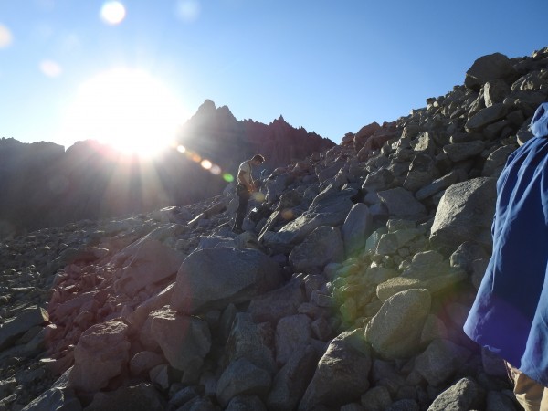
Here we’re treated to a nice sunrise at the base of the moraine.
Here’s Alex bounder hopping on the rocky moraine.
The beauty of the Red Rocks route is you don’t need to touch snow (no crampons, ice axe, etc.). It’s also non-technical, unless you get off route and if you don’t have 6 members in 1 party.
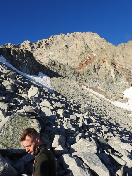
Here’s a view of the red rocks route with Casey in the foreground.
I took a Go Pro video of the Red Rocks Route here;
[Click to View YouTube Video]
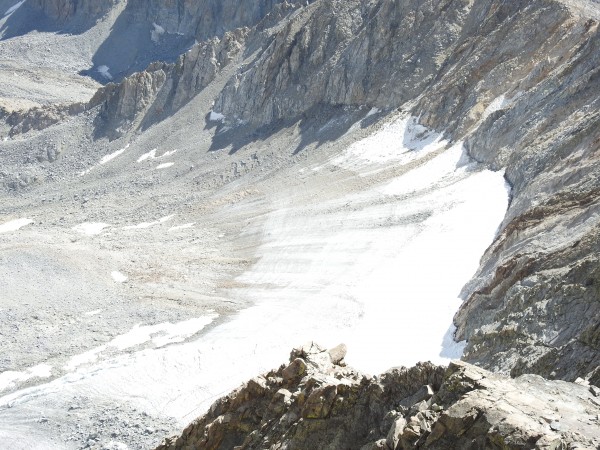
View of the Middle Palisade Glacier from the chute
The route follows the moraine between the Middle Palisade and Norman Clyde Glaciers and bends to the right up through the very visible Red Rock section. This section is very steep and very loose, thus requiring full attention especially with a group of 6. Several times, we inadvertently knocked loose small rocks and yelled ‘ROCK’ accordingly.
Jason and Hillary were in the lead going up since they were not wearing helmets. They made the minor mistake of heading right up the chute and not left. Here’s a go pro video of this steep section:
[Click to View YouTube Video]
We ended up at the ridge between Norman Clyde and Middle Pal with a few hundred feet to traverse. 6 of us roped up on the same rope with Casey leading and placing gear that we slowly traversed – Jason cleaning the gear at the end of the rope. It took us an hour approx. to make the final push to the summit, reaching it by approx. 11am.
Video of the Traverse – airy and time consuming - Whoa. Somewhat thankful we did get off route to be able to traverse this section, exposure was stunning.
[Click to View YouTube Video]
The other couple had made up the time difference by staying left up the chute and summited just before we arrived. .
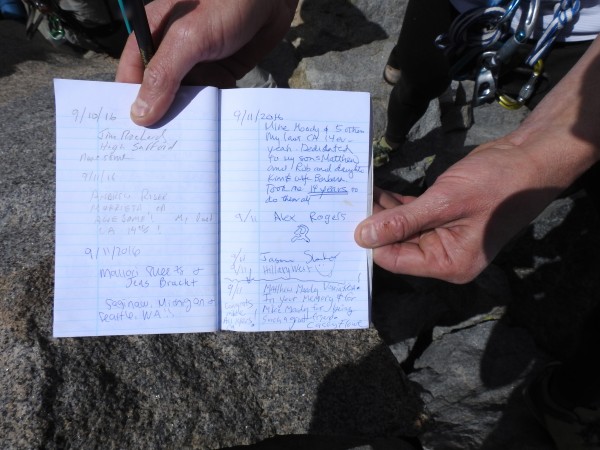
I signed the register, dedicating the 14er mission to my wife Barbara and children Rob, Kim and Matthew.
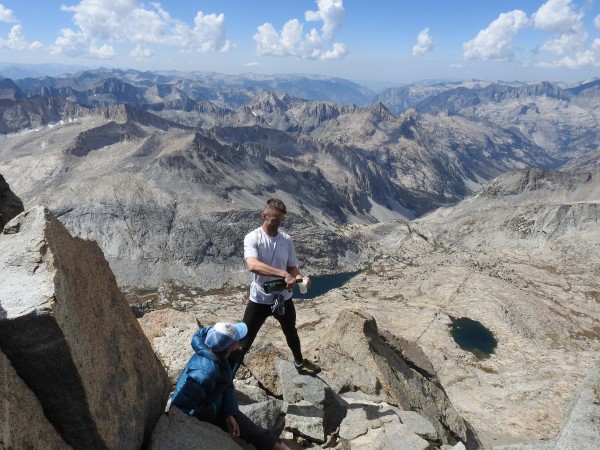
Casey surprised all of us with a bottle of champagne he had carried all the way from the trailhead – AWESOME
although......
Champagne + Exhaustion + 14,000 feet + Steep Descent = Trouble
So we went light on the champagne as I made a short speech about my 14 year mission and life’s trials and tribulation – losing a child – and recovering from heart surgery.
We were all aware of the weather reports for snow that afternoon and spent only 20 – 30 minutes on the summit. We made a descent straight down from the summit, which was less steep than the ascent route. Within 1 hour of summiting, it started to hail and snow as we made our way down the moraine and on to Finger Lake where the weather only a few miles away was clear and sunny. I suggested spending a second night at camp, but the consensus was to hike all the way back out and drive to Big Pine and get a meal and then a hotel room in Bishop. Alex and Casey once again took a few pounds off my pack to make faster time.
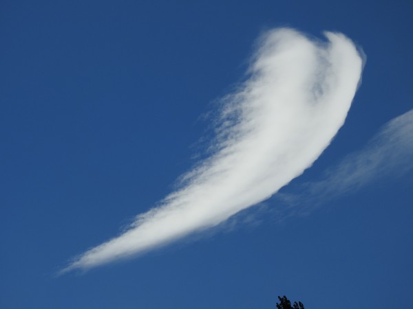
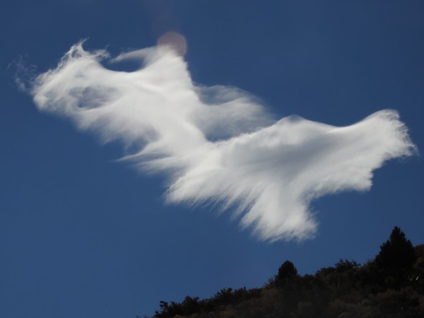
We drove home the next day 9-12-16 and caught an inspiring heart shaped cloud near Tioga Pass Gas Station that morphed into 2 birds (my opinion – what do you think?).
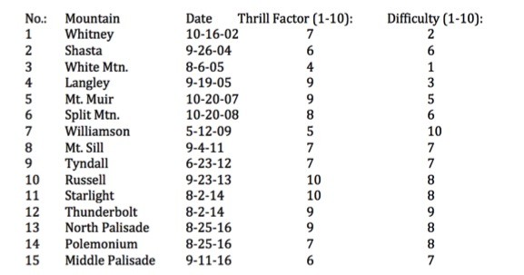
Here’s a chronicle of my 14er Summits (not counting all the Palisade trips and Mt. Russell trips where I didn’t summit) including my subjective assessment of overall enjoyment factor and difficulty. Note Williamson difficulty factor based on the George Creek route, and Middle Palisade thrill factor based on getting off route and doing the ridge traverse.
Mike Moody
Alamo CA
Facebook-mpmoody
